|
Geotag (location) for: Wiklow: 53º0'0"N;6º24'60"W
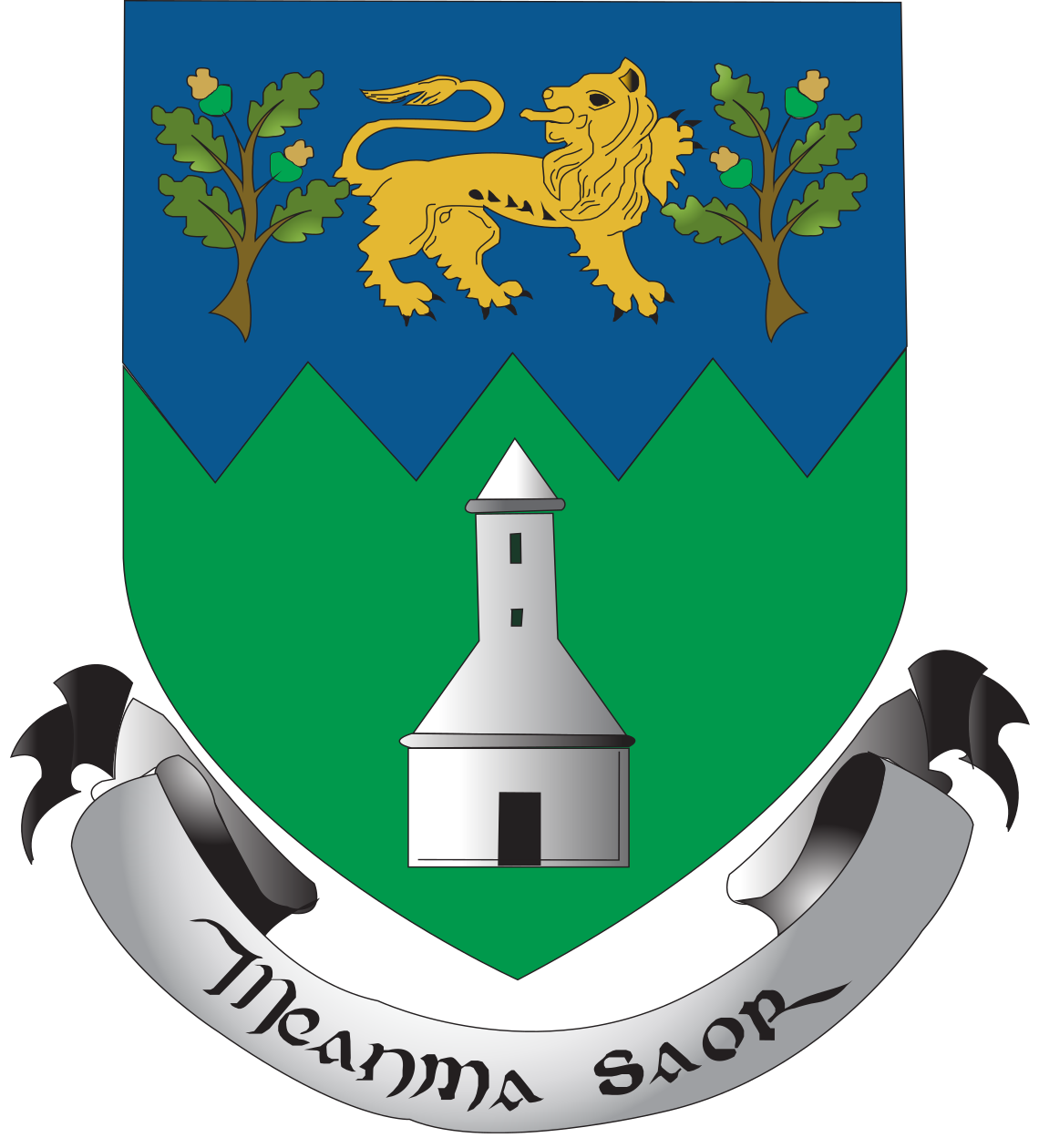
Wicklow (WW) shireWicklow (iriska: Contae Chill Mhantáin) är ett grevskap på Irland. Huvudort är Wicklow, medan den största staden är Bray. Grevskapet är känt under namnet The Last County eftersom det är det sista grevskapet som upprättades på Irland. Wicklow bildades 1605 efter en delning av grevskapet Dublin. Grevskapet är även känt som Irlands hage. Översikt
Wicklow (grevskap) i Leinster provins i Irland
Arkiv: County Wicklow, Ireland Genealogy
HistorikUnder 1800-talet var Wicklow ett centrum för irländska uppror, och en militärväg anlades rakt igenom grevskapet så att de brittiska styrkorna lätt kunde röra sig i området. A number of early Irish saints founded churches, monasteries and convents in Wicklow. Among them were St. Kevin, St. Dagan, St. Ernan, St. Credan, St. Palladius, Cainnear, Ceoltigherna and Croine. The ancient monastery of Glendalough is located in the county. County Wicklow was the last of the traditional counties of Ireland to be shired in 1606 from land previously part of counties Dublin and Carlow. Established as a distinct county, it was aimed at controlling local groups such as the O'Byrnes. The Military Road, stretching from Rathfarnham to Aghavannagh crosses the mountains, north to south, was built by government forces to assist them in defeating the rebels still active in the Wicklow Mountains following the failed Irish Rebellion of 1798. It provided them with access to an area that had been a hotbed of Irish rebellion for centuries. Several barracks to house the soldiers were built along the route and the Glencree Centre for Peace and Reconciliation was built alongside the remains of barracks there. Battalions of the Irish Army use firing ranges in County Wicklow for tactical exercises, especially the largest one in the Glen of Imaal which was previously used by the British Army prior to independence. During the Cromwellian conquest of Ireland, local authorities immediately surrendered without a fight. During the Irish Rebellion of 1798, some of United Irishmen insurgents took refuge in the Wicklow Mountains, resulting in clashes between British forces and rebels commanded by Joseph Holt near Aughrim and later at Arklow. ÖvrigtWicklow is named after its county town of Wicklow, which derives from the name Víkingaló (Old Norse for ”Vikings' Meadow”) |
består avBaroniesThere are eight historic baronies in the county. While baronies continue to be officially defined units, they are no longer used for administrative purposes. Their official status is illustrated by Placenames Orders made since 2003, where official Irish names of baronies are listed under ”Administrative units”. The largest barony in Wicklow is Lower Talbotstown, at 88,704 acres (359 km2), and the smallest barony is Rathdown, at 33,463 acres (135 km2).
TownlandsMain article: List of townlands of County Wicklow Towns and villages
|
Användarverktyg
plats:ie:wicklow.ww.shire
Geotag (location) for:
Wiklow shire: 53º0'0"N;6º24'60"W
plats/ie/wicklow.ww.shire.txt · Senast uppdaterad: 2024/04/03 01:27 av 127.0.0.1
