|
Geotag (location) for: Pine co: 46º6'0"N;92º45'60"W
Pine (MN) countyPine County är ett administrativt område i delstaten Minnesota i USA. År 2010 hade countyt 29 750 invånare. Den administrativa huvudorten (county seat) är Pine City. Översikt
Pine County i Minnesota i USA
Arkiv: Pine County, Minnesota Genealogy
HistorikPine County was organized on March 1, 1856, with territory partitioned from Chisago and Ramsey counties. The original county seat was Chengwatana. In 1857, Buchanan County in full and southern parts of Aitkin and Carlton Counties were formed from the original Pine County, with Kanabec County organized a year later. In 1861, Buchanan County was dissolved and folded into Pine County. Pine County was reorganized in 1872, with Pine City named as the county seat for the remaining smaller area.[5] ÖvrigtIt was named for its abundant pine tree growth. |
består avCities
Unincorporated communities
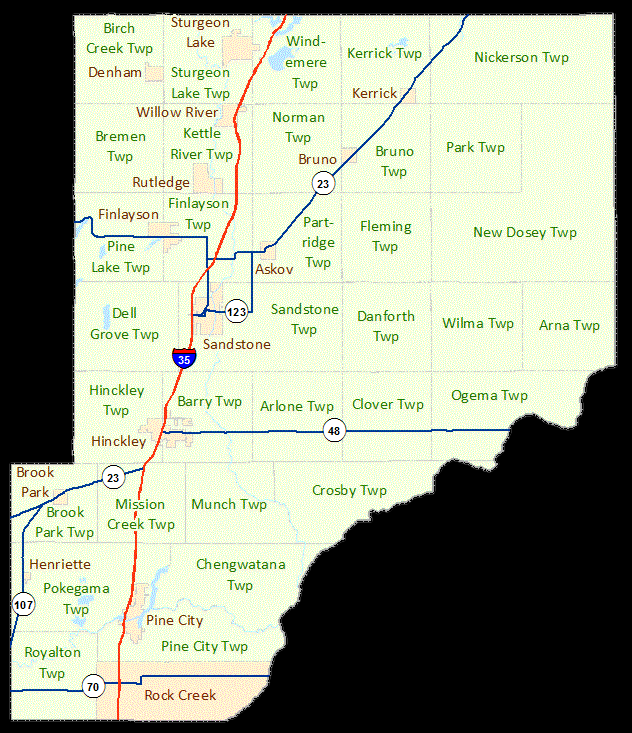
Townships
Ghost towns
|
Användarverktyg
plats:us:pine.mn.co


plats/us/pine.mn.co.txt · Senast uppdaterad: 2024/04/03 01:27 av 127.0.0.1