|
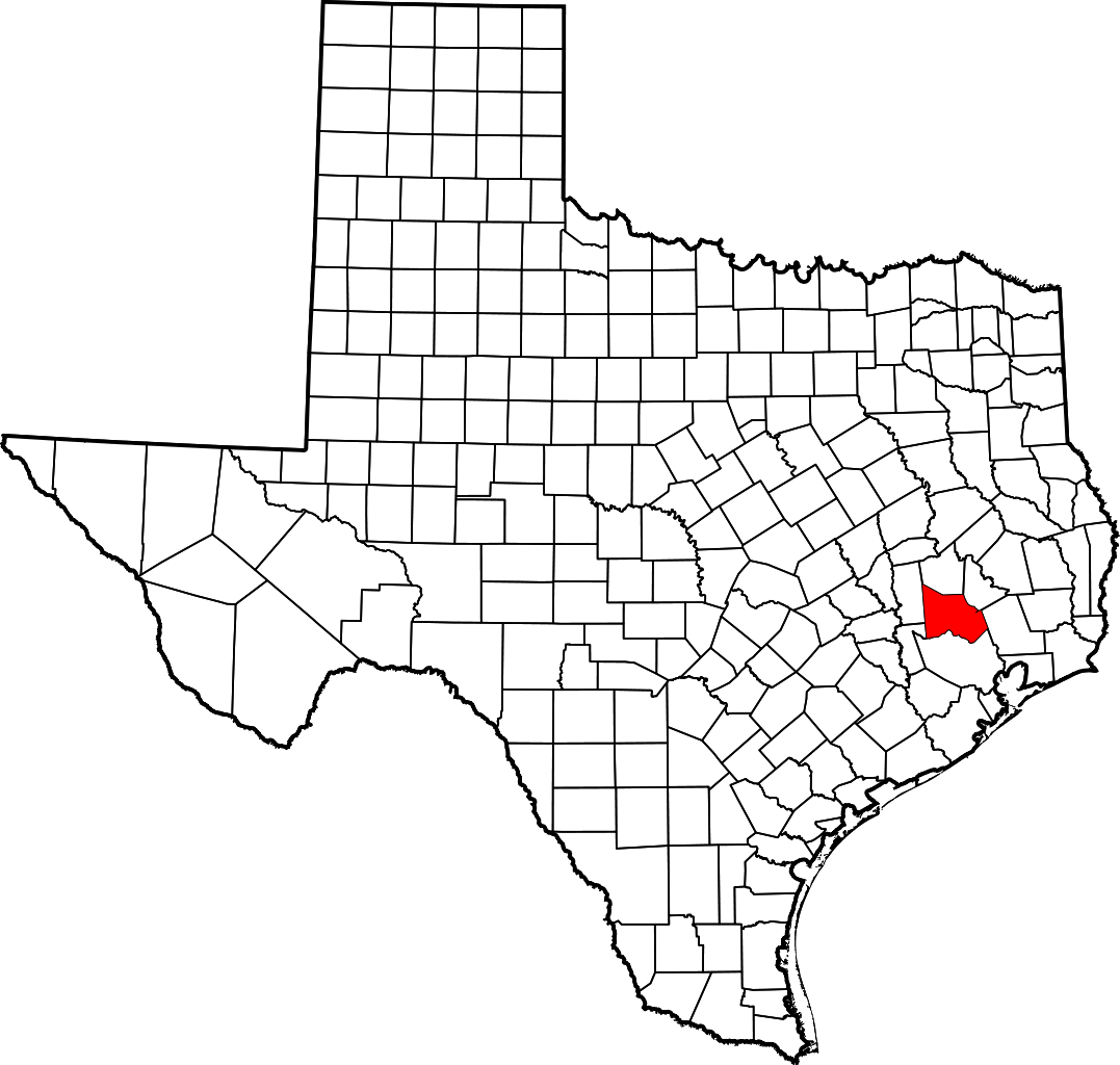
Geotag (location) for: Montgomery co: 30º18'0"N;95º30'0"W
Montgomery (TX) countyMontgomery County är ett administrativt område i delstaten Texas, USA, med 455 746 invånare (2010). Den administrativa huvudorten (county seat) är Conroe. Översikt
Montomery county i Texas i USA
Arkiv: United_States_Genealogy
HistorikThe county was created by an act of the Congress of the Republic of Texas on December 14, 1837, and is named for the town of Montgomery. Between 2000 and 2010, its population grew by 55%, the 24th-fastest rate of growth of any county in the United States. Between 2010 and 2020, its population grew by 36%. According to the U.S. Census Bureau, the estimated population is 678,490 as of July 1, 2022. Montgomery County is part of the Houston-The Woodlands-Sugar Land, TX Metropolitan Statistical Area. Övrigt |
består avCities
Towns
Census-designated places
Unincorporated communities
|
Användarverktyg
plats:us:montgomery.tx.county
plats/us/montgomery.tx.county.txt · Senast uppdaterad: 2024/04/03 01:27 av 127.0.0.1
