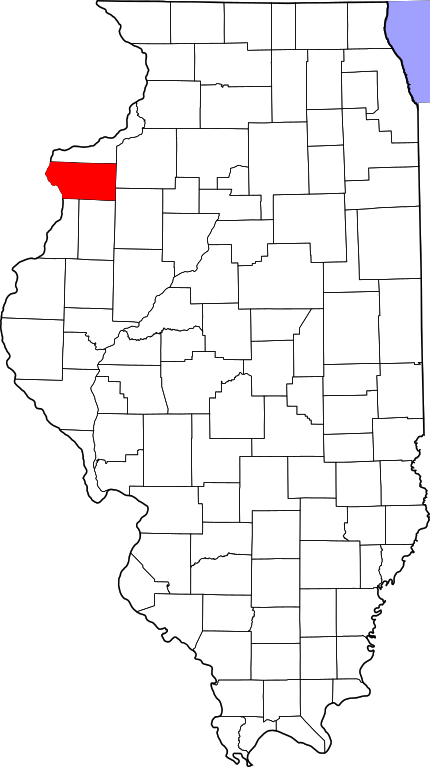
Mercer (IL) countyMercer County är ett administrativt område i delstaten Illinois, USA. År 2010 hade countyt 16 434 invånare. Den administrativa huvudorten (county seat) är Aledo. Översikt
Mercer County i Illinois i USA
Arkiv: Mercer County, Illinois Genealogy
HistorikIn May 1812, Congress passed an act which set aside lands in Arkansas, Michigan, and Illinois as payment to volunteer soldiers in the War of 1812. Mercer County was part of this ”Military Tract.” Seven years after Illinois became a state, Mercer County was founded. It was formed from unorganized territory near Pike County on January 13, 1825. Although the county had been created, its government was not organized for several years; for administration purposes it was attached first to Schuyler County (until 1826), then to Peoria (until 1831), and finally to Warren County. The organization of the county government was finally completed in 1835, after a large influx of settlers following the Black Hawk War. ÖvrigtMercer County is named for Hugh Mercer (1726–1777), a physician and general during the American Revolution who died from wounds suffered at the Battle of Princeton. |
Geotag (location) for: Mercer county: 41º12'0"N;90º43'59.999"W
består avCity
Village
Unincorporated
Township
|
Användarverktyg
plats:us:mercer.il.co
plats/us/mercer.il.co.txt · Senast uppdaterad: 2024/04/03 01:27 av 127.0.0.1
