wiki.Ömans.se

Sockenkatalog för släktforskare

Användarverktyg

Webbverktyg


plats:us:crow-wing.mn.county
Geotag (location) for:
Crow Wing co52º14'4.2"N;7º31'15.6"E

Crow Wing (MN) county

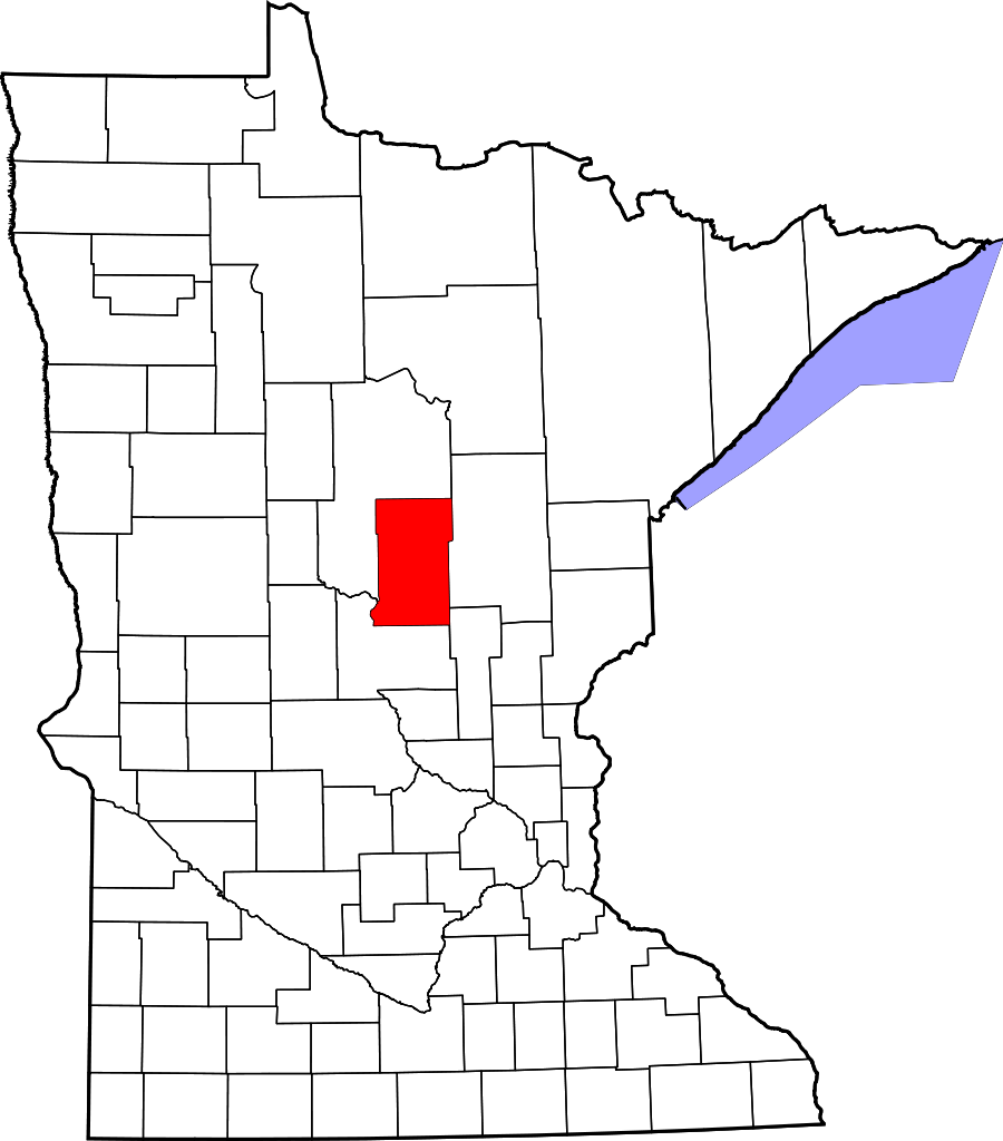
Crow Wing County är ett administrativt område i delstaten Minnesota i USA. År 2010 hade countyt 62 500 invånare. Den administrativa huvudorten (county seat) är Brainerd.

Översikt

Historik

This area was long occupied by the Ojibwe people, also known as Chippewa. In addition, numerous Dakota people lived in central and southern Minnesota before European settlement.

1837-
European Americans established a trading post in this area, on the east side of the Mississippi River opposite the mouth of the Crow Wing River. The post (named Crow Wing) soon became a center of trading with the region's Native Americans, with a general-supply store that served the area.
1866-
the village contained about 600 whites and Chippewa; it was a major population center. The territorial government enacted the county's creation on May 23, 1857, and named Crow Wing the county seat. The governmental structure of the county was not effected until March 3, 1870.
1870-
Brainerd township was founded when the Northern Pacific Railroad selected the site for a crossing of the Mississippi River. It attracted development and population, soon surpassing Crow Wing. It was also designated as the new county seat, drawing off more residents and businesses from what became known as a ghost town, Old Crow Wing. Crow Wing State Park encompasses much of the former village site along the river.
  • Brainerd City was incorporated on November 19, 1881, named for Lawrence Brainerd, the father-in-law of J. Gregory Smith, the first president of the Northern Pacific Railroad Company. Smith served as governor of Vermont from 1863 to 1865 before moving west. He is called the father and founder of Brainerd. Lawrence Brainerd was the first president of the Vermont Central Railroad.[citation needed] The Northern Pacific Railroad ran a special train as its first service to Brainerd on March 11, 1871. Its regular passenger service began the next September. The first passenger train from the Twin Cities, by way of Sauk Rapids, arrived on November 1, 1877.
1887-02-18
the Minnesota legislature annexed part of Cass County (west of the Mississippi) to Crow Wing County, which doubled the former area of Crow Wing County.

Övrigt

The county was named for the river, which is named for an island in the river that resembles a crow's wing.

består av

Cities

  • Baxter
  • Brainerd (county seat)
  • Breezy Point
  • Crosby
  • Cuyuna
  • Deerwood
  • Emily
  • Fifty Lakes
  • Fort Ripley
  • Garrison
  • Ironton
  • Jenkins
  • Manhattan Beach
  • Nisswa
  • Pequot Lakes
  • Riverton
  • Trommald

Census-designated place

  • Merrifield

Unincorporated communities

  • Barrows
  • Bay Lake
  • Crosby Beach
  • Crow Wing
  • Ideal Corners
  • Iron Hub
  • Klondyke
  • Lake Hubert
  • Legionville
  • Little Pine
  • Loerch
  • Mission
  • Old Crow Wing (ghost town)
  • Pine Center
  • Saint Mathias
  • Shephard
  • Swanburg
  • Wolford
  • Woodrow

Townships

  • Bay Lake Township
  • Center Township
  • Crow Wing Township
  • Daggett Brook Township
  • Deerwood Township
  • Fairfield Township
  • Fort Ripley Township
  • Gail Lake Township
  • Garrison Township
  • Ideal Township
  • Irondale Township
  • Jenkins Township
  • Lake Edwards Township
  • Little Pine Township
  • Long Lake Township
  • Maple Grove Township
  • Mission Township
  • Nokay Lake Township
  • Oak Lawn Township
  • Pelican Township
  • Perry Lake Township
  • Platte Lake Township
  • Rabbit Lake Township
  • Roosevelt Township
  • Ross Lake Township
  • Saint Mathias Township
  • Sibley Township (former)
  • Timothy Township
  • Wolford Township

Unorganized territories

  • Dean Lake
  • West Crow Wing
plats/us/crow-wing.mn.county.txt · Senast uppdaterad: 2024/04/03 01:27 av 127.0.0.1