|
Geotag (location) for: Cincinnati: 39º0'0"N;84º0'0"W
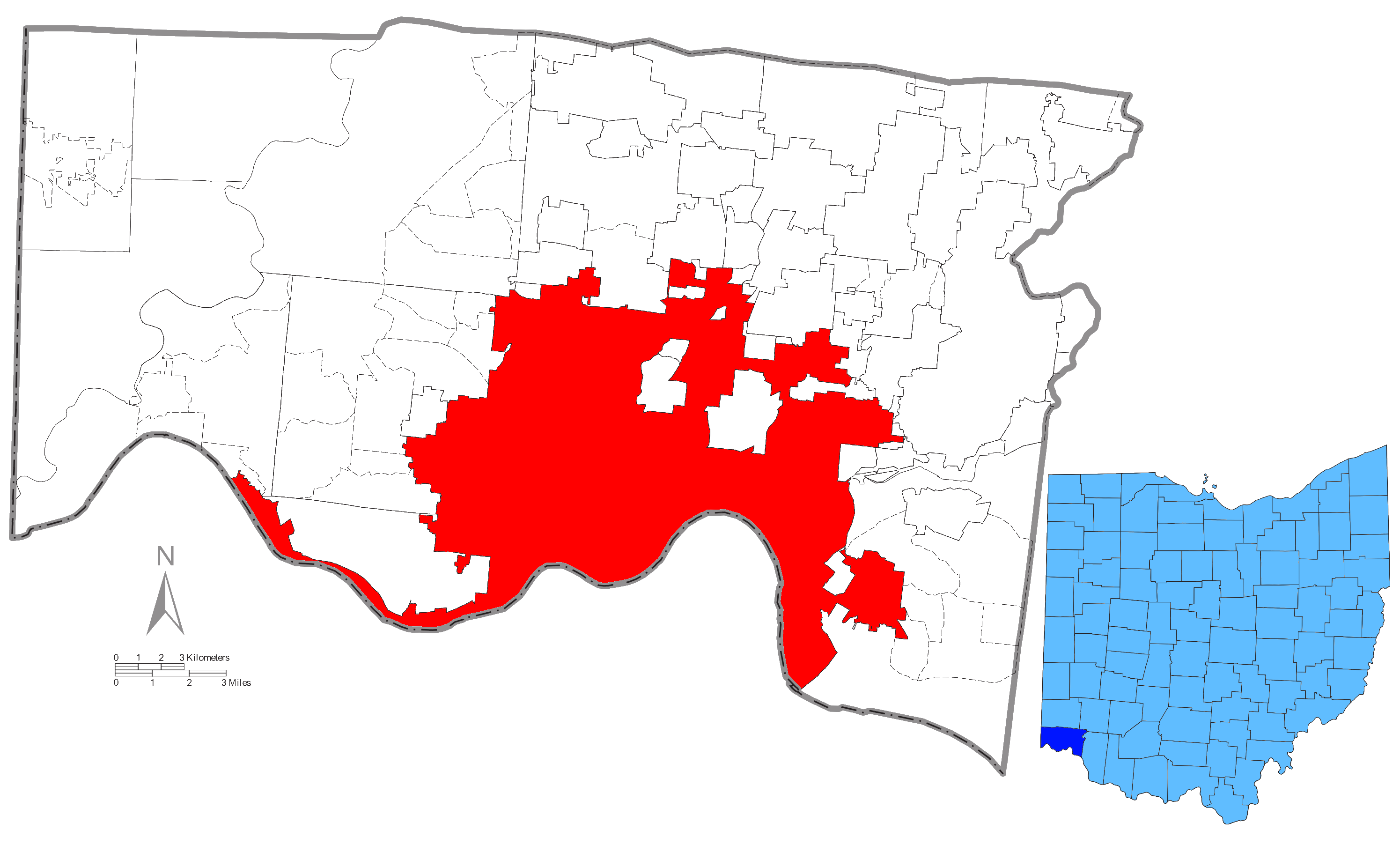
Cincinnati (OH) stadCincinnati är en stad i Hamilton County i delstaten Ohio i USA med 332 458 invånare (2007) och 2 133 678 invånare i storstadsområdet. Den ligger vid Ohiofloden i delstatens sydvästra hörn och grundades 1788. Översikt
incinnati city i Hamilton county i Ohio i USA
Arkiv: United_States_Genealogy
HistorikTwo years after the founding of the settlement then known as ”Losantiville”, Arthur St. Clair, the governor of the Northwest Territory, changed its name to ”Cincinnati”, possibly at the suggestion of the surveyor Israel Ludlow, in honor of the Society of the Cincinnati. St. Clair was at the time president of the Society, made up of Continental Army officers of the Revolutionary War. The club was named for Lucius Quinctius Cincinnatus, a dictator in the early Roman Republic who saved Rome from a crisis and then retired to farming because he did not want to remain in power, becoming a symbol of Roman civic virtue. Cincinnati began in 1788 when Mathias Denman, Colonel Robert Patterson, and Israel Ludlow landed at a spot at the northern bank of the Ohio opposite the mouth of the Licking and decided to settle there. The original surveyor, John Filson, named it ”Losantiville”. On January 4, 1790, St. Clair changed the name of the settlement to honor the Society of the Cincinnati. In 1811, the introduction of steamboats on the Ohio River opened up the city's trade to more rapid shipping, and the city established commercial ties with St. Louis, Missouri, and New Orleans downriver. Cincinnati was incorporated as a city on March 1, 1819. Exporting pork products and hay, it became a center of pork processing in the region. From 1810 to 1830, the city's population nearly tripled, from 9,642 to 24,831. Construction on the Miami and Erie Canal began on July 21, 1825, when it was called the Miami Canal, related to its origin at the Great Miami River. The first section of the canal was opened for business in 1827.[In 1827, the canal connected Cincinnati to nearby Middletown; by 1840, it had reached Toledo. Railroads were the next major form of commercial transportation to come to Cincinnati. In 1836, the Little Miami Railroad was chartered.[28][page needed] Construction began soon after, to connect Cincinnati with the Mad River and Lake Erie Railroad, and provide access to the ports of the Sandusky Bay on Lake Erie.[page needed] During the time, employers struggled to hire enough people to fill positions. The city had a labor shortage until large waves of immigration by Irish and Germans in the late 1840s. The city grew rapidly over the next two decades, reaching 115,000 people by 1850. During this period of rapid expansion and prominence, residents of Cincinnati began referring to the city as the Queen City. ÖvrigtNamnet kommer av Cincinnatusorden, vilken i sin tur fick sitt namn av den romerske diktatorn Cincinnatus. Staden nämns också många gånger i serien Våra bästa år, som en stad många rymmer till. |
består av52 stadsdelar
|
Användarverktyg
plats:us:cincinnati.oh.stad
plats/us/cincinnati.oh.stad.txt · Senast uppdaterad: 2024/04/03 01:27 av 127.0.0.1
