|
Geotag (location) for: Benton co: 45º42'0"N;94º0'0"W
Benton (MN) countyBenton County är ett administrativt område i delstaten Minnesota i USA, med 38 451 invånare. Den administrativa huvudorten (county seat) är Foley. Översikt
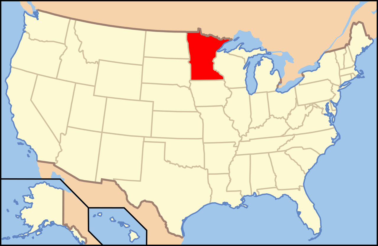
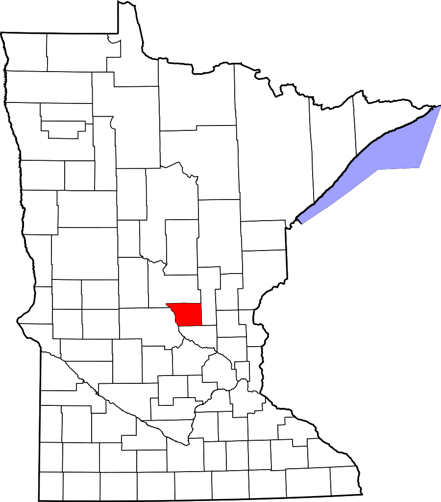
Benton county i Minnesota i USA
Arkiv: Benton County, Minnesota Genealogy
HistorikEstablished in 1849 and organized in 1850, the county is one of the oldest in Minnesota. Its county seat for many years was Sauk Rapids, at the confluence of the Sauk and Mississippi Rivers. The county seat moved to Watab in 1856 and returned to Sauk Rapids in 1859. Sauk Rapids became the terminus of a railroad line in 1874, but was destroyed by a tornado in 1886. In 1897 the county seat moved to Foley, where it remains. As St. Cloud expanded into a metropolitan area, the northern part of Benton County became a suburb. ÖvrigtIt is named for Thomas Hart Benton, a United States Senator from Missouri. |
består avOrter
Cities
Townships
Census-designated place
Unincorporated communities
Ghost towns
|
Användarverktyg
plats:us:benton.mn.county
plats/us/benton.mn.county.txt · Senast uppdaterad: 2024/04/03 01:27 av 127.0.0.1


