|
Geotag (location) for: Maricopa co: 33º30'50"N;112º28'33"W
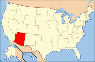
Maricopa (AZ) countyÖversiktHistorikMaricopa County (/ˌmærɪˈkoʊpə/ MARR-i-KOH-pə) is a county in the south-central part of the U.S. state of Arizona. As of the 2010 census, its population was 3,817,117, making it the state's most populous county, and the fourth-most populous in the United States. It is more populous than 23 states. The county seat is Phoenix, the state capital and fifth-most populous city in the country. Maricopa County is the central county of the Phönix-Mesa-Glendale, AZ Metropolitan Statistical Area. ÖvrigtMaricopa County was named after the Maricopa Indians. There are five Indian reservations located in the county. The largest are the Salt River Pima-Maricopa Indian Community (east of Scottsdale) and the Gila River Indian Community (south of Chandler). |
består av
|
Användarverktyg
plats:us:maricopa.az.co
plats/us/maricopa.az.co.txt · Senast uppdaterad: 2024/04/03 01:27 av 127.0.0.1
