|
Geotag (location) for: Damariscotta town: 44º1'58"N;69º31'7"W
Damariscotta (ME) townÖversikt
Damariscotta town i Lincoln county i Maine i USA
Arkiv: Lincoln County, Maine Genealogy
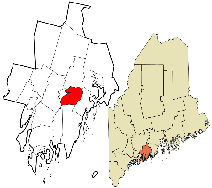
HistorikDamariscotta is a town in Lincoln County, Maine, United States. The population was 2,218 at the 2010 census. Some colonists moved upriver from the village at Pemaquid about 1640 to settle what is today Damariscotta. But the settlements were attacked in 1676 during King Philip's War, with the inhabitants either driven off or massacred. Attempts to rebuild alternated with further attacks during the French and Indian Wars. The Province of Massachusetts Bay constructed Fort William Henry at Pemaquid in 1692, but it was destroyed in 1696. The last battle of King William's War was on September 9, the Battle of Damariscotta, in which Captain John March killed 25 native men. Fort Frederick, in 1729, successfully resisted the region's final two attacks, and was pulled down at the time of the Revolution so that the British could not occupy it. With peace at last, Damariscotta grew as a trade center. It was incorporated as a separate town on March 15, 1848, set off from parts of Bristol and Nobleboro. Early industries included two sawmills, a match factory and a tannery. Along the river were established several brickyards, which supplied much of the brick used to build Boston's Back Bay neighborhood. But shipbuilding in particular brought Damariscotta wealth in the 1800s, when clipper ships were launched at the town's shipyards. During that time, many fine examples of Federal, Greek Revival and Italianate style architecture were erected, giving the old seaport a considerable charm which each summer attracts throngs of tourists. ÖvrigtThe name Damariscotta is an Indian name meaning ”lake of small fish”. |
består av
|
Användarverktyg
plats:us:damariscotta.me.town
plats/us/damariscotta.me.town.txt · Senast uppdaterad: 2024/04/03 01:27 av 127.0.0.1
