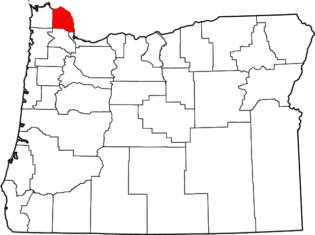
Columbia (OR) countyDen administrativa huvudorten (county seat) St. Helens är belägen vid Columbiafloden cirka 125 km norr om delstatens huvudstad Salem, cirka 80 km öster om Stilla Havet och omedelbart väster om gränsen till delstaten Washington. Översikt
Columbia County i Oregon i USA
Arkiv: Columbia County, Oregon Genealogy
HistorikThe Chinook and Clatskanie Native American peoples inhabited this region for centuries prior to the arrival of Robert Gray, captain of the ship Columbia Rediviva, in 1792. The Lewis and Clark Expedition traveled and camped along the Columbia River shore in the area later known as Columbia County in late 1805 and again on their return journey in early 1806. Columbia County was created in 1854 from the northern half of Washington County. Milton served as the county seat until 1857 when it was moved to St. Helens. Columbia County has been afflicted by numerous flooding disasters, the most recent in December 2007. Heavy rains caused the Nehalem River to escape its banks and flood the city of Vernonia and rural areas nearby. Columbia County received a presidential disaster declaration for this event. ÖvrigtCountyt har fått sitt namn efter Columbiafloden som bildar countyts norra och östra gräns. |
Platsbestår avCities
Census-designated places
Unincorporated communities
|
Användarverktyg
plats:us:columbia.or.co
plats/us/columbia.or.co.txt · Senast uppdaterad: 2024/04/03 01:27 av 127.0.0.1
