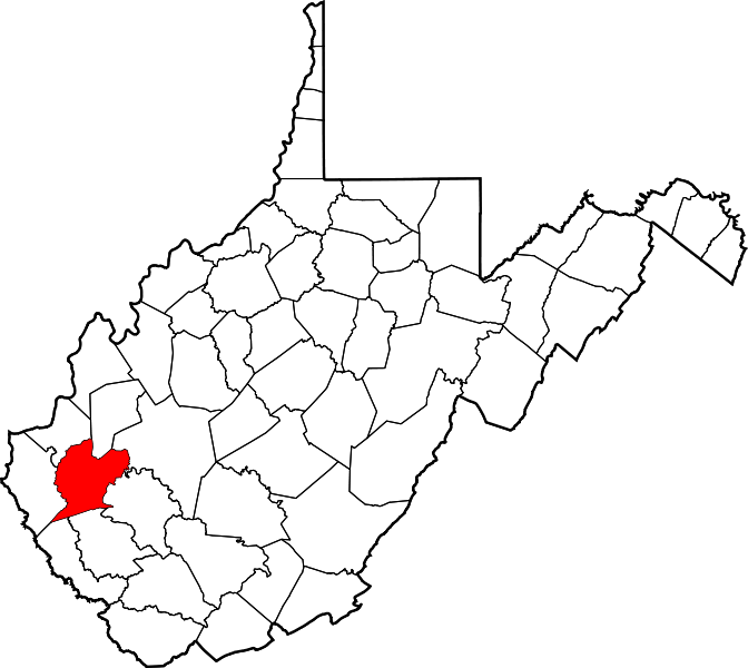
Carroll (WV) district
The Carroll District (historical) is a County Subdivision of County. The subdivision has a Census Class Code which indicates that the Carroll District (historical) is Översikt
Carroll District i Lincoln county i West Virginia i USA
Arkiv:
HistorikJesse, John, David, William, and Moses McComas were the first Anglo settlers in what is now Lincoln County. They cultivated 20 acres (81,000 m2) of corn, the first ever grown in the area near present-day West Hamlin, in 1799. Later that year, they returned to eastern Virginia to get their families. Their families were initially left behind because it was not known if there were any hostile Native Americans in the area, or if the soil would be suitable for cultivation. John Lucas, William Hinch, and John Johnson soon joined the McComases in the county. They built cabins in the county around 1800. About 1804, William Wirt Brumfield settled at the mouth of Big Ugly Creek. ÖvrigtIn 1863, West Virginia's counties were divided into civil townships, with the intention of encouraging local government. This proved impractical in the heavily rural state, and in 1872 the townships were converted into magisterial districts. Between its formation in 1867 and 1870, Lincoln County was divided into seven townships: Carroll, Duval, Harts Creek, Jefferson, Sheridan, Union, and Washington. In 1871, Laurel Hill Township was formed from portions of Harts Creek and Sheridan Townships. The following year, the eight townships became magisterial districts. Except for minor adjustments, the eight historic magisterial districts remained largely unchanged until the twenty-first century, when they were consolidated into three new districts: District 1, District 2, and District 3. |
Platsbestår av |
Användarverktyg
plats:us:carroll.wv.dist
plats/us/carroll.wv.dist.txt · Senast uppdaterad: 2024/04/03 01:27 av 127.0.0.1

